From September 3-11, 2021, the International Union for the Conservation of Nature (IUCN) hosted the World Conservation Congress (WCC) in Marseille, France. Held every four years, the WCC is the world’s largest conservation event and environmental decision-making forum, and was previously held in 2016 in Honolulu, Hawaiʻi, where the East-West Center was a sponsor. At this year’s event, Pacific RISA PIs Laura Brewington and Zena Grecni where honored to lead two sessions on the climate crisis and impacts in the Pacific Islands region. The WCC was opened with an address by the President of France, Emmanuel Macron, and a series of in-person and virtual panels and presentations by Hawaiʻi Governor David Ige, the Prime Minister of Greece Kyriakos Mitsotakis, Vice President of the European Commission Frans Timmermans, President of the European Central Bank Christine Lagarde, actor and environmentalist Harrison Ford, photographer Sebastião Salgado, and leaders from government, civil society, indigenous peoples, business, and academia.
“Biodiversity and climate are two sides of the same coin.”
~ Christine Lagarde, President of the European Central Bank
Read More
The Pacific RISA 2021 Annual Report
Leave a Comment
Posted on November 3, 2021 by pacrisa
The Pacific Research on Island Solutions for Adaptation (Pacific RISA) program supports Pacific island and coastal communities in adapting to the impacts of climate variability and change. The newly released Pacific RISA Annual Report covers the final year of the grant cycle, titled “Supporting Integrated Decision Making Under Climatic Variability and Change in Hawai‘i and the US-Affiliated Pacific Islands,” from June 1, 2020 to May 31, 2021. Read More
The RISA Sustained Assessment Specialist Network
Leave a Comment
Posted on October 27, 2021 by pacrisa
Introducing a new resource on the NOAA RISA Sustained Assessment Specialist network! This 2-page, quick reference sheet provides information about sustained assessment and the current and recent specialists that serve RISA regions.
The RISA Sustained Assessment Specialist Network promotes cross-regional collaboration, leverages expertise, and promotes learning and just solutions within the adaptation community. The network advances a shared vision for sustained assessment. Read More
New Resource: The 2021 Pacific Islands Climate Storybook
Leave a Comment
Posted on October 22, 2021 by pacrisa
The new Pacific Islands Climate Storybook details community experiences in addressing the impacts of a changing climate in Pacific Island countries. Originally published in 2015, the Storybook was made possible through the extraordinary efforts of numerous government agencies and non-government organizations throughout the Pacific Islands region. The 2021 update to the Storybook reflects additional case studies and experiential knowledge, as well as scientific data. With emphasis on the vital need for climate early warning, the stories highlight the use of or need for climate services to increase community resilience to a changing climate. Read More
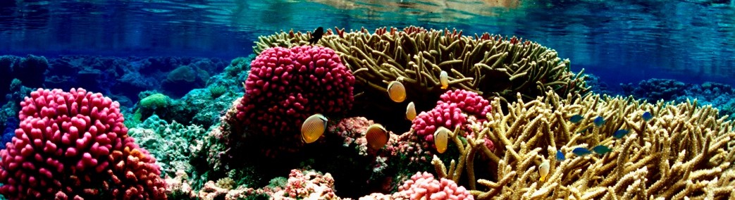
The IUCN World Conservation Congress: Resilience is in Our Nature
Leave a Comment
Posted on September 21, 2021 by pacrisa
From September 3-11, 2021, the International Union for the Conservation of Nature (IUCN) hosted the World Conservation Congress (WCC) in Marseille, France. Held every four years, the WCC is the world’s largest conservation event and environmental decision-making forum, and was previously held in 2016 in Honolulu, Hawaiʻi, where the East-West Center was a sponsor. At this year’s event, Pacific RISA PIs Laura Brewington and Zena Grecni where honored to lead two sessions on the climate crisis and impacts in the Pacific Islands region. The WCC was opened with an address by the President of France, Emmanuel Macron, and a series of in-person and virtual panels and presentations by Hawaiʻi Governor David Ige, the Prime Minister of Greece Kyriakos Mitsotakis, Vice President of the European Commission Frans Timmermans, President of the European Central Bank Christine Lagarde, actor and environmentalist Harrison Ford, photographer Sebastião Salgado, and leaders from government, civil society, indigenous peoples, business, and academia.
Read More
Our Vision
Pacific Island communities that are resilient to climate impacts and using climate information to manage risks.
Follow Pacific RISA
Archives